Your cart is currently empty!
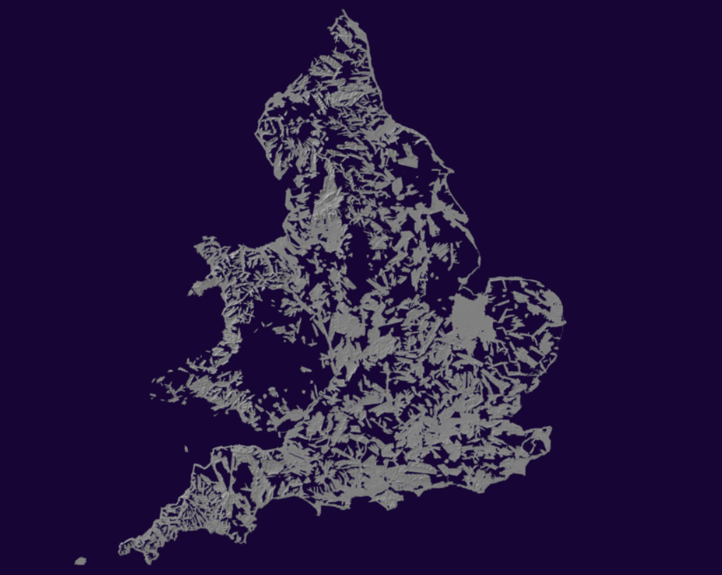
LIDAR Surveys
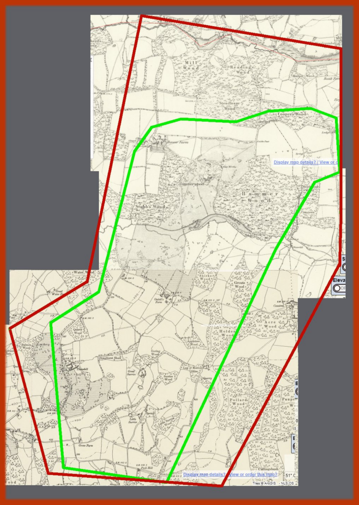
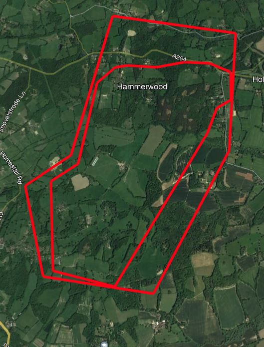
We’ve been working with the Hammerwood team on using LIDAR to explore the history of the area. Looking for things such as:
– Roman ironworking
– Mediaeval ironworking
– Iron ore mining and routes to furnaces and hammers
– Ecclesiastical deer park
– Agricultural development including water management, meadow and flowing canal
Ornamental deer or other grassland park, identified by grey dotting on the 1873 map
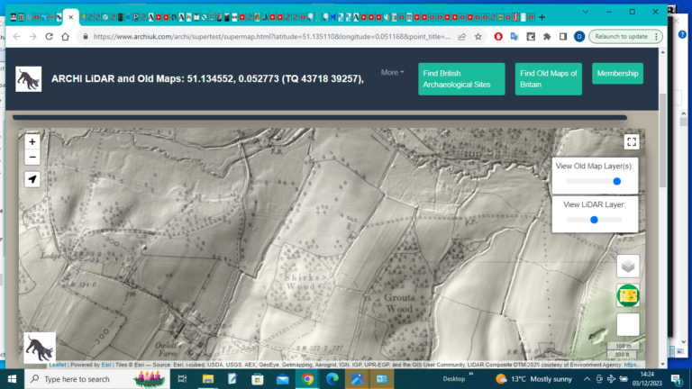
More LIDAR data here, though you might need to be a member to access it all https://www.archiuk.com/archi/supertest/supermap.html?
latitude=51.135110&longitude=0.051168&point_title=%2051.134552,%200.052773%20
(TQ%2043718%2039257)%20(RH19%203QE,%20RH193QE%20In%20East%20Grinst
ead,%20Mid%20Sussex,%20Tandridge,%20West%20Sussex,%20England)%20&placen
ame=51.134552,%200.052773%20(TQ%2043718%2039257)&county=
Will share the output of this work at some point…
