Owletts Farm
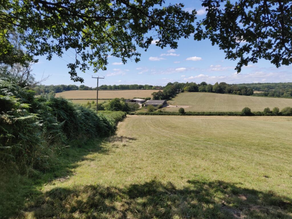
Beautiful though it is already, our 220 acres in the Upper Medway valley are changing. We're on a nature restoration journey.
We're transitioning from conventional grazing to something much more exciting: wood pasture, wildflower meadows, wetlands, and heritage orchards. The kind of landscape that was here centuries ago — and the kind that can feed people, store carbon, slow floods, and support extraordinary biodiversity all at once.
About half our farm lies within the former parkland of Hammerwood House — the first building designed by Benjamin Latrobe, who later designed the US Capitol. We're using historical maps and LiDAR data to understand what this land used to be, and to guide what it's becoming.
What We're Up To
Restoring the Land
We're creating wood pasture with native trees, diverse grassland, and scrub mosaics. Reconnecting streams with their floodplains. Planting heritage orchards where the old ones stood. It's big, ambitious work — and we're having a great time doing it.
Working with Neighbours
Nature doesn't respect farm boundaries. So we've joined forces with our neighbouring farms to work in a coordinated way — doing things together that no single farm could manage alone. More on this coming soon.
Building the Tools
The landscape analysis we did for our own farm turned into Ecology App — a platform that gives any landowner access to the same hydrology, habitat mapping, and biodiversity modelling. If we found it useful, maybe you will too.
The Bigger Picture
Our work is supported by the Natural Environment Investment Readiness Fund (NEIRF3074) and an SFI agreement that runs from 2024 to 2029. We've completed comprehensive baseline surveys — soil carbon, above-ground carbon, biodiversity, and hydrology — so we can track our progress and demonstrate real ecological uplift.
South East Rivers Trust are working with us and our neighbours on a potential Stage 0 river restoration of the Shovelstrode Stream — 2km of reconnecting river with floodplain. It's one of the most exciting things happening in river restoration in the South East.
Come and Say Hello
Whether you're a fellow farmer thinking about nature restoration, a walker who's curious about the changes in the landscape, or an ecologist who wants to know more about the data — we're always happy to talk.